New Albany got its name from its founders, Joel, Abner, and Nathaniel Scribner, who came to the Indiana Territory from their home in Albany, New York. Arriving at the Falls of the Ohio in 1813, they saw the bustling community of Louisville on the south side of the river and the settlement of Clarksville underway on the north side, so the brothers went a little more west to establish their settlement.
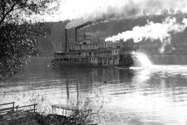
Just as cities today vie for a Federal Express or UPS hub, so did towns in this area seek to gain a piece of the thriving freight business along the Ohio River in the 1810s and 1820s. Some of the first steamboats on the Ohio stopped along the riverfront for repairs, and boats of all kinds regularly dropped off freight in New Albany during the teens and twenties. In fact, the steamboat was so important to the local economy of New Albany that the first design of the Floyd County seal featured an engraved steamboat.
Even after the steamboat was introduced to the Ohio River, the waterway still teemed with many other types of watercraft: barges, rafts, and flatboats all passed through New Albany in the 1820s. The busy port saw its share of sailors, boatmen, and travelers bustling through town on their way down the river.
The Falls of the Ohio—located between Clarksville and Louisville—presented a significant barrier to traffic on the river in the early nineteenth century. Rather than wait until the water was deep enough to risk sailing over the falls, shippers often operated two steamboat lines: above the Falls, steamboats sailed between Pittsburgh, Cincinnati, and Louisville; below the Falls, they ran from Louisville all the way to New Orleans. The boats going up-river to Pittsburgh had to unload their cargo and transfer it to wagons or smaller boats, then reload everything onto down-river boats.
New Albany was perfectly situated to take advantage of this “transshipment” business. Local merchants promoted their town as the “real head of navigation on the Ohio-Mississippi system.” They proposed a system of receiving at their wharf goods from boats coming from Cincinnati, passing the contents by road to the next nearest above-the-Falls Indiana port town to the west, and then ferrying the goods to Louisville.
The merchants’ dreams of wealth did not come true — New Albany had enough ferries to connect it with towns and cities on the Ohio River, but not enough serviceable roads to connect it with the interior of its own state. Instead, most of the roads in the area were little more than well-worn trails that settlers had made through the dense forest. The path to Corydon was macadamized in the 1820s, and roads eventually connected New Albany to Clarksville and to far- western Vincennes.
But it was Jeffersonville that was the closest major Indiana port town above the Falls of the Ohio—and the road between New Albany and Jeffersonville was roughly constructed and poorly maintained. New Albany’s dreams of becoming a transshipment hub never materialized—the two cities’ economies developed separately, their fates independent of each other.
A Moment of Indiana History is a production of WFIU Public Radio in partnership with the Indiana Public Broadcasting Stations. Research support comes from Indiana Magazine of History published by the Indiana University Department of History.
IMH Source article: Victor M. Bogle, “New Albany as a Commercial and Shipping Point,” Indiana Magazine of History 48, no. 4 (Dec. 1952): 369-378.
Other source: https://www.countyhistory.com/scribnerhouse/


