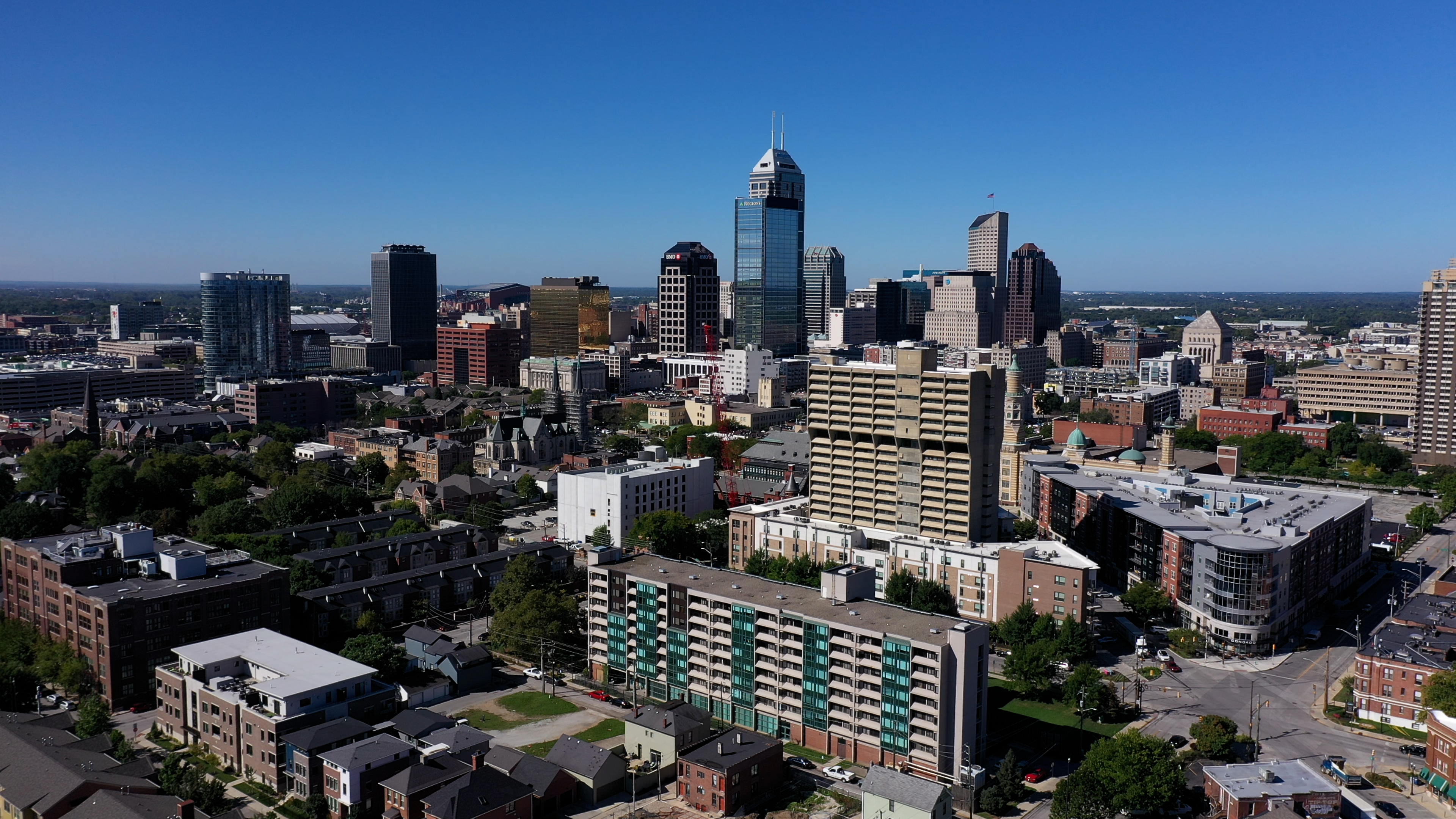
Producer Jason Pear of Journey Indiana: From Above explains what it's like to see the Hoosier state from the skies. He reflects upon his favorite aerial shots and dives into how his team employed cutting-edge drone technology to get them.
Q. What were some of your favorite locations that you saw and shoot during production?
A. I think my favorite locations were probably Indianapolis, Evansville, and Yellowwood State Forest.
In Indianapolis, we were able to get a unique look at monuments (including the Soldiers and Sailors Monument) that I’ve seen countless times from the ground. It was also a challenge for the pilots to fly in that type of environment, and they did a remarkable job.
In Evansville, we were able to document the departure of the USS LST-325 (a decommissioned tank landing ship). That was fun—and challenging—because of the crowds that had gathered and the difficulty of keeping up with a ship traveling (faster than you’d think) down the Ohio.
Our trip to Yellowwood State Forest (mostly Yellowwood Lake) was just one of those magical fall mornings where the conditions (light, water, fog, etc.) were just right, and we knew we were capturing something special.
Beyond that, there were a number of locations that I didn’t get to see personally. Instead, I would send a small crew out to gather footage, and it was a lot of fun to talk to them after. Some notable shoots—when the crew was really excited—were the limestone quarries near Bloomington, Prophetstown State Park in Tippecanoe County, and Clifty Falls State Park near Madison.
Needless to say, this was a fun project to work on.
Q. What is the visceral, overall feeling evoked by aerial film that can’t be captured using more traditional techniques?
A. It’s been possible to capture aerial images for more than 150 years—first via balloons, then planes, helicopters, etc. What’s been gained in just the last handful of years with drones is the ability to safely get close to a subject. There’s an intimacy to that, and it’s something we strived for every time we went out.
That said, it’s not easy. Flying a few feet from the Indiana War Memorial in Indianapolis or a covered bridge in Parke County takes real skill, and our four pilots (Jacob, Saddam, John, and Jake) displayed that time and time again.
Q. What sort of technology did you and your team operate to capture this aerial photography?
A. The main piece of technology was the drone itself. For Journey Indiana: From Above, we used a DJI Mavic Pro 2 exclusively. Beyond the drone, we relied on a whole host of apps to ensure that we were flying only in safe, authorized areas.
Q. If you could capture the entirety of the Hoosier state as you were able to see it in only one word, what would that word be?
A. Surprise.
Q. Going off of the previous question, could you explain why you chose that word? What does Indiana—its history, culture, and geography—mean to you?
A. I’ve lived in Indiana my whole life and have been lucky enough to tell Indiana stories for nearly the last 20 years. I’ve been surprised before (and) during the course of a production. In fact, it’s part of what makes my job so much fun.
But I don’t think I’ve ever had it happen so often. The whole production team had a sense of what we might be able to capture when we started Journey Indiana: From Above, but we were surprised (almost always pleasantly) at nearly every turn.
Journey Indiana: From Above premieres Thursday, March 2 at 8pm on WTIU. Learn more about the program at journeyindiana.org.


