


The Ohio River forms the boundary between Indiana and Kentucky.
The Ohio River forms the boundaries of five states: West Virginia, Pennsylvania, Ohio, Indiana, Kentucky, and Illinois. Each of these five states has to decide where its actual state line is with respect to the river, and that decision can mean millions of dollars in revenue lost, or gained, to each state.
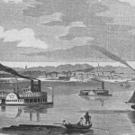
A little history can help explain how Indiana and Kentucky have arrived at their answers to that question for their shared portion of the waters. The Ohio River used to form the southern boundary of the holdings of Virginia—the Old Northwest. When Virginia ceded that land and divided its jurisdiction between the Northwest Territory and Kentucky, the Old Dominion’s cession deed was silent over the particulars of the boundary—where to draw the imaginary dividing line in the soil of the river bed? Down the middle? Or along the edge of each state’s land?
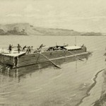
Soon enough, a dispute arose between Indiana and Kentucky on the boundary question. A jut of land extended from the Indiana shore above and near Evansville; at low-water mark this land formed a peninsula, but when the river was swollen the projection was completely surrounded by water and therefore had the appearance of an island. The federal government had granted patents for this land.
Then Kentucky developed the theory that [its] boundary extended to the opposite shore at high-water mark and granted patents for the same piece of land. The dispute made its way to the U. S. Supreme Court in the 1820 case of Handly’s Lessee v. Anthony et al., where Chief Justice John Marshall decided in favor of Indiana. Marshall wrote that the low-water mark must determine a state’s boundary, so the land belonged to Indiana.
Case closed? No. Over the many decades that followed, Kentucky claimed all of the river as its own and [received millions of dollars in] . . . revenue from fishing, boating, liquor, and other licenses granted for use on any portion of the river.
In January of 1980, the U.S. Supreme Court ruled that the boundary should be the low-water mark on the Ohio and Indiana shores—as it was when Kentucky became a state in 1792—and directed the three states to settle the matter accordingly.
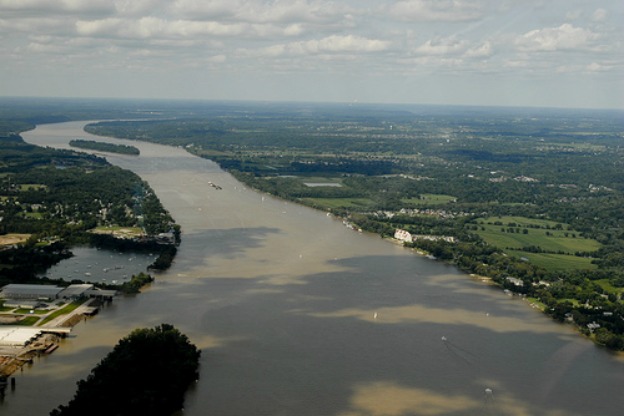
Although it seems simple enough, in fact, the Ohio River’s course had shifted over the past two hundred years, and its water level had been raised by dam construction. Indiana and Ohio were claiming that the 1792 boundary was somewhere near the middle of the river, while Kentucky claimed parts of Evansville and Clarksville!
The U.S. Geological Survey used data from two surveys conducted by the Corps of Engineers from 1896 to 1914 to help establish the 1792 low-water mark. Linley Pearson, who was Indiana’s Attorney General at the time, remarked, “There is not now, nor will there ever be in the future, an Evansville, K[entucky]. We feel this agreement ends 200 years of fighting over the common border between Kentucky and Indiana.”
A Moment of Indiana History is a production of WFIU Public Radio in partnership with the Indiana Public Broadcasting Stations. Research support comes from Indiana Magazine of History published by the Indiana University Department of History.
IMH Source Article: Eugene O. Porter, “The Boundary and Jurisdictional Problems of the Ohio River,” Indiana Magazine of History 39, no. 2 (June 1943): 121-132.
Other: “Kentucky, Indiana and Ohio End River Boundary Dispute,” New York Times, October 21, 1981, p. A20.