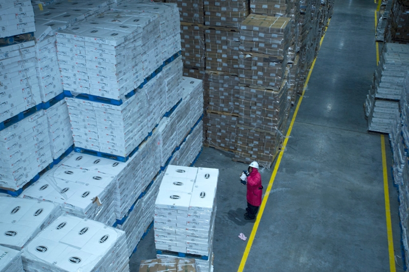
U.S. Department of Agriculture (USDA) Food Safety Inspection Service (FSIS) inspector examines a shipment imported frozen meat at the Port of New Orleans in New Orleans, LA (Anson Eaglin/USDA)
Have you ever wondered how far the grains in your bread had to travel to get to your morning toast? Or how far corn grown in rural Illinois has to travel just to end up back a grocery store in Chicago?
Thanks to a team of researchers at the University of Illinois Urbana-Champaign, you can trace how food travels to every county in the U.S. It's the most comprehensive snapshot to date of how all grains, fruits, vegetables, and processed food items flow within the country.
Some major takeaways from the report, published in the journal Environmental Research, are:
-
Los Angeles County received the most food - 22 million tons - of any other U.S. county in 2012. At almost 17 million tons, it also shipped out the most of any county.
-
Many of the largest food transport links were within California, indicating that there is a lot of internal food movement within the state. The researchers attributed that to California's large urban centers, as well as the agriculturally productive Central Valley.
-
One of the largest links is from Niagara County to Erie County in New York. That's due to the flow of food through an important international overland port with Canada.
-
The map also shows how far some crops must travel before reaching your plate. For example, a shipment of corn that starts at a farm in Illinois, travels to a grain elevator in Iowa before heading to a feedlot in Kansas, and then back to Iliinois via animal products being sent to grocery stores in Chicago.
In the report's introduction, the researchers point out that oftentimes food security research focuses on increasing food production. But this map focuses on the complex webs of interconnected infrastructure that transport crops and food, and what it could mean for the country's food supply should that infrastructure fail.
For example, a lot of grain produced in the Midwest is transported via the Ohio and Mississippi Rivers to the Port of New Orleans for export. The infrastructure along these waterways - such as locks 52 and 53 - have not been overhauled since their construction in 1929, representing a potential bottleneck - or complete disruption - of grain supply chains nationwide.
The researchers hope their work can be used in the future to improve understanding of the vulnerabilities within the national food supply chain, and enable further assessments of critical infrastructure.
Read More:
-
We mapped how food gets from farms to your home (The New Food Economy)
-
Choke Point of a Nation: The High Cost of an Aging River Lock (The New York Times)
-
What Really Unites Americans? Our Food Supply (Food & Wine)


